Climate Zones Worksheet
This climate zones worksheet gives Grade 6 and Grade 7 students 26 marks of practice on why climate varies across the planet.
This climate zones worksheet gives Grade 6 and Grade 7 students 26 marks of practice on why climate varies across the planet, and on how people have built, dressed and farmed to suit the conditions they were given.
What the climate zones worksheet covers
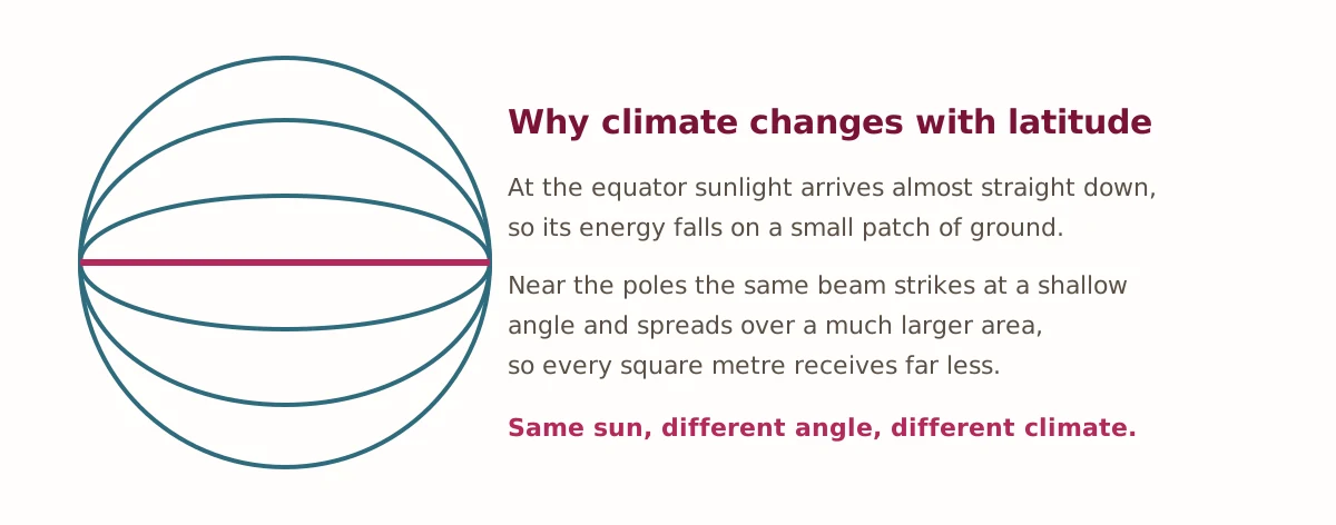
Climate is the pattern of weather a place has over many years, and the single biggest thing controlling it is latitude. Sunlight arriving at the equator comes almost straight down, so its energy lands concentrated on a small patch of ground. The same beam reaching a polar region strikes at a shallow angle and spreads across a much larger area, so each square metre receives far less of it. Nothing about the sun has changed. Only the angle has.
That one idea explains more than any list of zones, and students who hold it tend to work out the rest for themselves. The sheet then adds three controls that adjust the picture. Altitude lowers temperature, which is why snow sits on mountains that stand directly on the equator. Distance from the sea narrows the extremes, because water heats and cools far more slowly than land. And mountains force approaching air upward until it drops its rain, leaving the far side dry — a rain shadow, and the reason several of the world's deserts sit where they do.
Adaptation, not just description
Part C is the part that makes this a social studies sheet rather than a science one. Students are given four zones and their conditions, and have to suggest how people live there: houses raised on stilts where rain is heavy, thick walls and small windows where days are hot and nights cold, buildings lifted clear of permafrost where the ground itself thaws and refreezes. Any sensible answer is accepted, and the key says so explicitly, because the point is reasoning from conditions to consequences rather than recalling a list.
Part D then tests whether the controls were understood or merely memorised. Quito sits almost on the equator and is cool all year, which is nonsense unless a student reaches for altitude. Two cities at the same latitude, one coastal and one inland, have noticeably different winters, which is nonsense unless they reach for the sea. These are the questions worth marking carefully.
The question most classes get wrong
Part E asks how Antarctica can be a desert. Almost every student answers that a desert must be hot, because every picture they have seen of one was sand. A desert is defined by how little precipitation falls, not by temperature, and much of Antarctica receives under 50 mm a year — well under the 250 mm threshold. Cold air holds very little moisture, so there is almost nothing available to fall. It is a small correction that reliably sticks, because it overturns something the student was sure of.
How to use this worksheet
The sheet prints on standard letter paper and needs only a pencil, though an atlas helps with Part D. The answer key explains the reasoning rather than listing answers, so it can be handed to a student for self-marking. In a classroom the vocabulary works as a starter and Part C as a paired discussion; for homeschool use the whole sheet is around forty-five minutes.
For related material, our social studies worksheets cover map skills, early civilizations and government across the grades. The National Oceanic and Atmospheric Administration publishes plain-language explanations of climate and weather that are useful if a student wants to go further.
Practise climate zones online
Answer these five questions and check them instantly. They use the same ideas as the printable sheet.
- What is the biggest single control on a place’s climate?
- As altitude increases, does temperature rise or fall?
- A desert is defined by low what?
- The dry side of a mountain range is called a rain what?
- Which zone lies beyond the tree line and has frozen ground?